| ILLUSTRATED MAPS of OUR BEAUTIFUL WORLD |
| Home Lighthouses Railroads Pirates Shipwrecks Civil War Art Buy News |
|
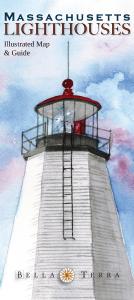
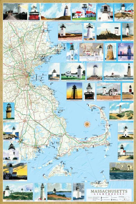
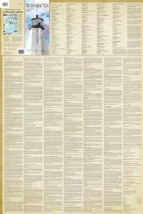
Massachusetts Lighthouses Illustrated Map & Guide The illustrated map and guide to ALL Massachusetts lighthouses features:
|
 LAMINATED POSTER
Size 24" x 36", laminated with edge seal Retail price $19.95 ISBN 978-1-888216-33-2 UPC 025058007634
Map illustrations by Peter M. Mason. |
|
P.O. Box 731, Rhinebeck, NY 12572 • tel 845-758-1460 • fax 866-954-6119 • sales@bellaterramaps.com Copyright © 2023. Bella Terra® is a registered trademark of Bella Terra Publishing LLC |