DISTINCTIVE VIEWS of OUR BEAUTIFUL WORLD
Home      Art      Covered Bridges      Lighthouses      Military      Pirates      Railroads      Shipwrecks 
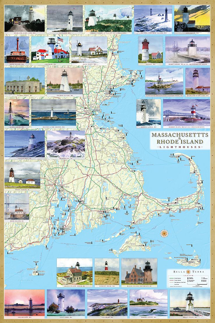
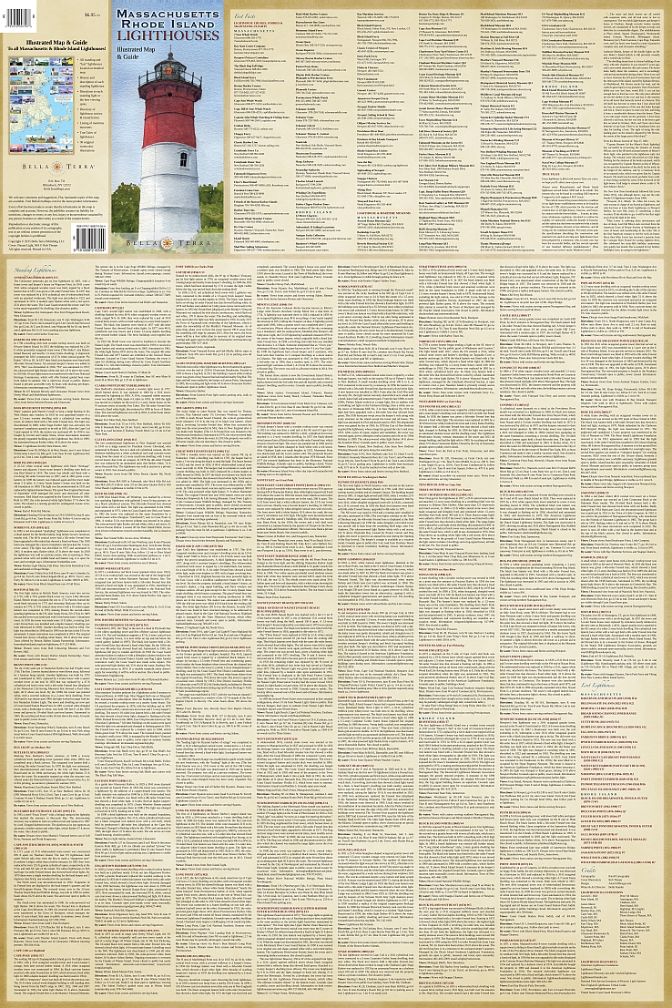
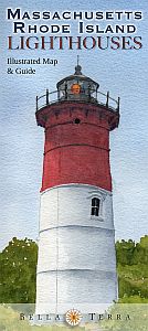
MASSACHUSETTS & RHODE ISLAND LIGHTHOUSES
Illustrated Map & Guide  –  1st Edition

  • Detailed shaded relief map.
  • Locations of all 100+ standing & "lost" lighthouses in
    Massachusetts & Rhode Island.
  • History & description of each lighthouse.
  • Directions to view each standing light.
  • Locations & directory of maritime museums.
  • Directory of lighthouse cruises, ferries & sightseeing flights.
  • True Tales of Mass. & Rhode Island lighthouses.
  • 30 original watercolor illustrations—available as art prints & notecards.
  • Size: 24 x 36 inches. Fits standard frames.
Cover: Nauset Light by Rob Thorpe
FOLDED MAP
Size 24" x 36", folded to 4" x 9"
Retail price $6.95
ISBN 978-1-888216-55-4
UPC 025058011402

LAMINATED POSTER
Size 36" x 24", glare-free matte lamination
Retail price $14.95
ISBN 978-1-888216-56-1
UPC 025058011419

BELLA TERRA PUBLISHING
P.O. Box 731, Rhinebeck, NY 12572 •  tel 845-758-1460 •  fax 866-954-6119 •  sales@bellaterramaps.com

Copyright © 2023. Bella Terra® is a registered trademark of Bella Terra Publishing, LLC