| DISTINCTIVE VIEWS of OUR BEAUTIFUL WORLD |
| Home Lighthouses Railroads Pirates Shipwrecks CIVIL WAR Art Buy News |

|
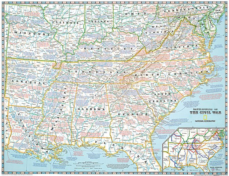
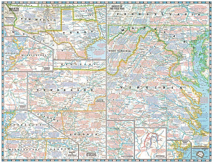
National Geographic Battlefields of the Civil War On the 100th anniversary of the shots fired at Fort Sumter, the April 1961 issue of National Geographic Magazine featured in-depth articles on the U.S. Civil War. The issue included a supplement map that located and described every battle, campaign and major event of the war. To honor the sesquicentennial of the Civil War, this historic map is available once again, in cooperation with National Geographic Maps. All key battles and events are described with National Geographic’s renowned map notes. Each battle is located with a crossed-swords symbol.
Size 28" x 21-3/4" folded to 4" x 9"
| |||

|
P.O. Box 731, Rhinebeck, NY 12572 • tel 845-758-1460 • fax 866-954-6119 • sales@bellaterramaps.com Copyright © 2018. Bella Terra® is a registered trademark of Bella Terra Publishing, LLC |